Our latest post is written by Claudia Acerini, a Quantitative Ecologist at the UK Centre for Ecology and Hydrology. Claudia will soon be applying *4pop models to support a new collaborative project, Living on the Verge, led by ARG UK and funded by Natural England’s Species Recovery Fund. She tells us more about this exciting new project…
Walking along the verge of a busy A road, where you can feel the vibrations from lorries trundling past and you have to shout over the noise of traffic, I find it hard to believe that any animal would want to call this environment home.
But that’s exactly what ecologists and volunteers from the Amphibian and Reptile Groups of the UK (ARG UK) say; people have found snakes, lizards and amphibians along railway and roadside verges just like these.
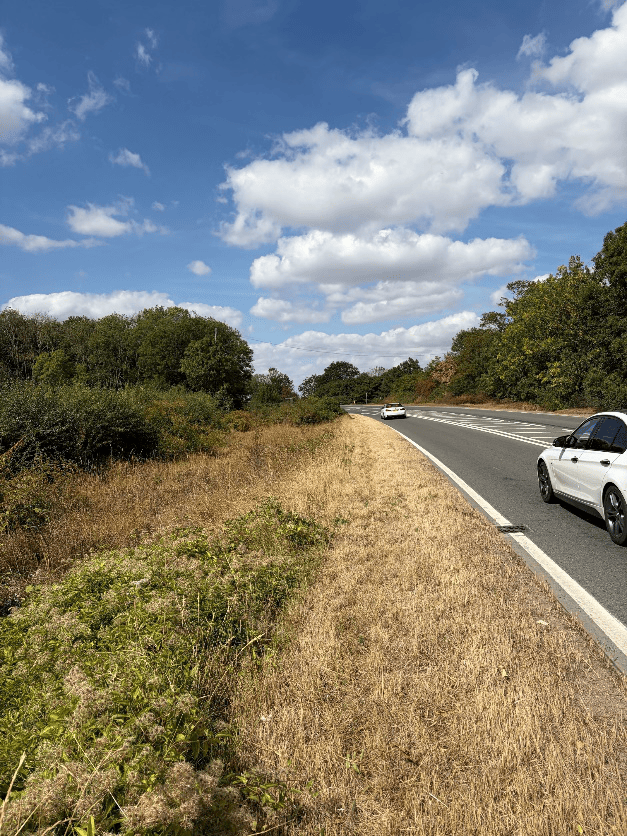
Why are they here? Are these verges important green corridors that allow animals to move between habitats? Or has what we’d expect to be their most hostile environment become their permanent refuge? Our modelling team will explore these questions as part of the new Living on the Verge project, funded through Natural England’s Species Recovery Programme in partnership with ARG UK.
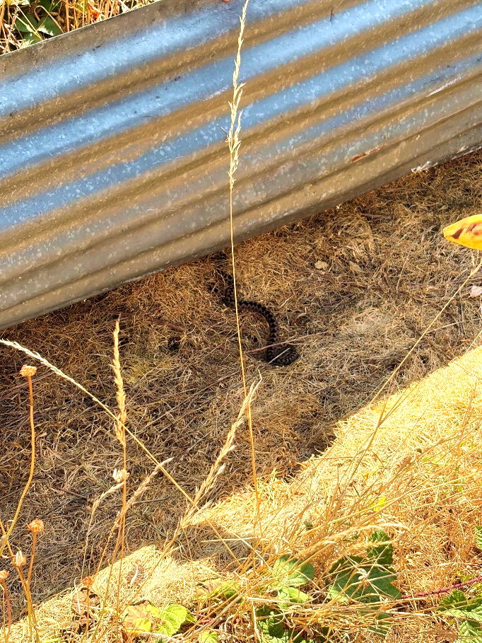
We will use our process-based models, add4pop and rept4pop, which simulate adder and common lizard activity across landscapes.
We’ll run simulations of both models in Gloucestershire, Northamptonshire and Thetford, where reptiles have been recorded inhabiting road and railway verges, using spatial landcover data from the new 3 m × 3 m resolution UKCEH Land Cover Map.
This newly released fine-scale landcover map enhances our ability to represent reptiles’ use of verges, because these narrow landscape features are not captured in the 10 m resolution land cover maps that we usually use. The improved spatial detail will allow us to investigate how reptiles might move through the current landscape and to visualise how the verges they occupy connect, or could be connected, to other suitable habitats through potential future landscape interventions.
We will compare our model predictions with on-ground survey observations to identify:
- where the model is predicting well or poorly. By understanding what features might be driving these differences in predictions, we can feed back this information into the model to improve predictive power.
- which landscape features make a verge more attractive habitat for reptiles. This will help us determine whether verges function mainly as corridors for movement, permanent habitat, or both.
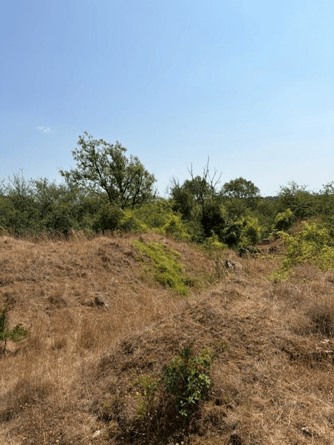
Identifying these features will be vital for supporting evidence-based guidance for land managers, helping to design interventions that create and enhance reptile habitats. This could help reptiles to connect to and move across different landscapes, which could help support larger and more resilient populations.
We’re looking forward to working with the project team including ARG UK, GlosARG, Northants ARG, Notts ARG and Norfolk ARG, Natural England, Gloucestershire, Norfolk and Suffolk Wildlife Trusts, Sapperton Wilder, Forestry England, the Breckland Farmers Wildlife Network, and Central Ecology.

